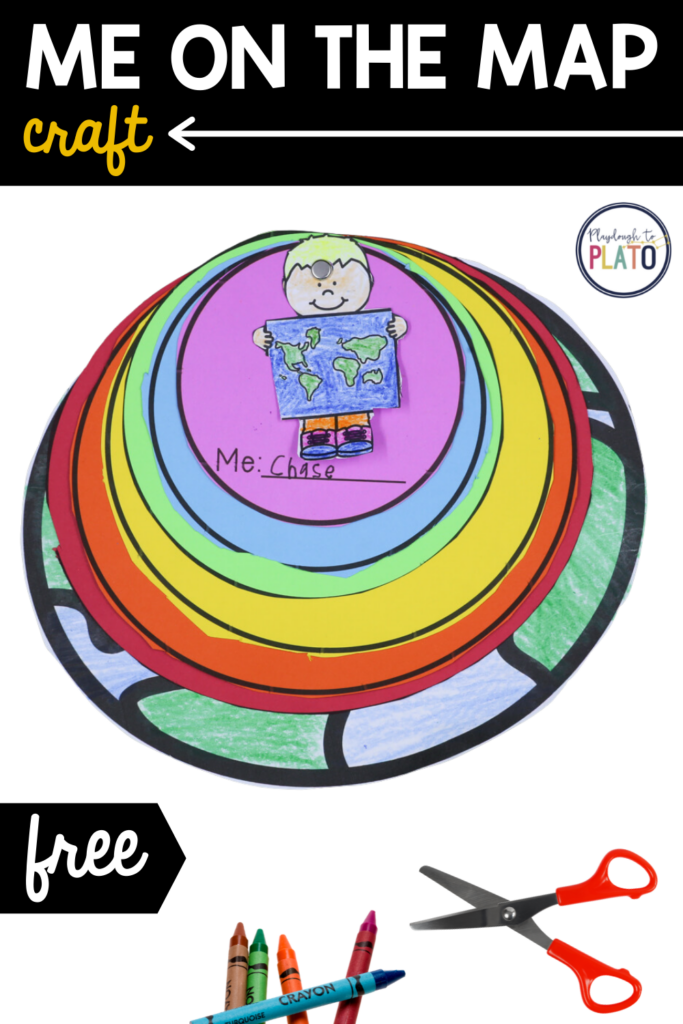
Let’s face it! Understanding how kids’ street, town, state, continent and planet fit together is downright confusing. But, thankfully, this simple me on the map craftivity is coming to the rescue! It’s a helpful visual kids can use again and again.
This post contains Amazon affiliate links.
Getting Ready
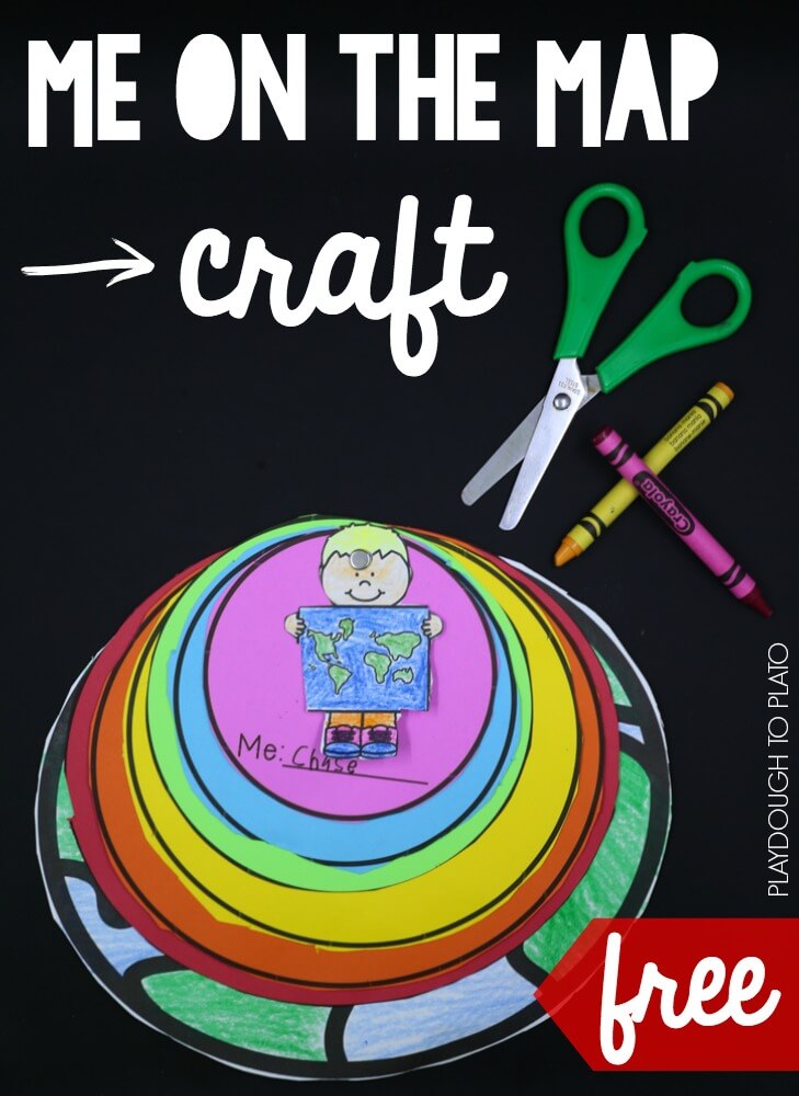
To prep the activity, I used the directions written on each page of the craftivity (below) to print the sheets on different colors.
The “Me” circle was purple, the “street” was blue…
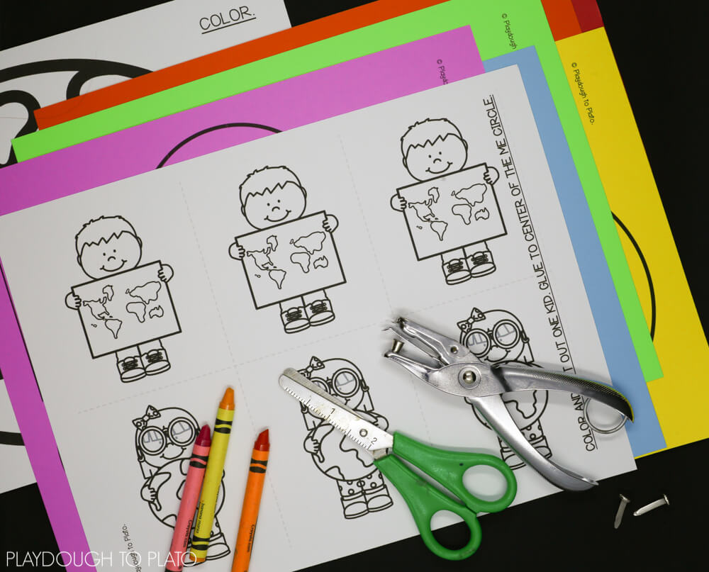
Then, I grabbed scissors, a hole punch, brad and crayons we would need to complete the project.
Me on the Map
I introduced the activity by reading the book Me on the Map (found on Amazon HERE). Then, I explained that we were going to find out where WE were on the map!
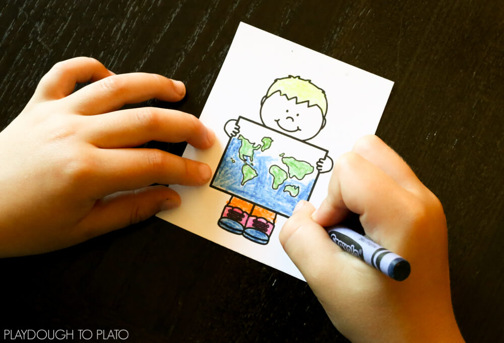
Big Brother (age 7) began coloring one of the boy pictures to match himself.
Then, he carefully cut around the outside edge of the picture and placed it off to the side.
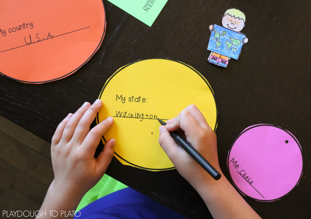
After cutting out each circle, we worked together to label the parts. “My country” was the USA, “my state” was Washington…
We stacked the circles on top of each other and aligned them at the top so that we could easily punch a hole through all eight parts at the same time.
Then, we bound them together with a simple brad and viola! Big Brother could easily see HIS place on the map!
Grab Your Copy
Ready to make your own Me on the Map craftivity?! Click the blue button below to snag your instant download.

Teaching is one of the hardest jobs out there, and it’s easy to feel like your efforts go unnoticed. But here’s the truth: what you’re doing matters, and we see you. The Science of Reading Formula is here to make your job easier and remind you of the incredible impact you’re making every single day. Let’s celebrate your wins and tackle those challenges together.